NEST-TERR2
Nearly 80% of the French population lives in urban areas where 70% of greenhouse gases (GHG) are emitted. These figures are all the more worthy of consideration as they are constantly increasing. In this context, sustainable urban planning is an essential lever for limiting GHG emissions and achieving national objectives. Today, research is pushing for the development of tools to measure the impact of a construction or development operation on its territory, such as the NEST (Neighbourhood Evaluation for Sustainable Territories) tool. As a plug-in for the 3D modeling software Sketchup, its objectives were to provide a quantitative environmental assessment of development operations from the very first phases of the project and to meet the expectations of project managers to produce indicators for the development of projects with HQE (High Environmental Quality) criteria. However, this tool had significant limitations. The environmental indicators were not adapted to the scale of the development and to the needs of the decision makers.
The NESTERR2 research program is a continuation of this first NEST tool whose aims to establish the energy, social and economic interactions that exist between different scales of a territory. It resulted in the creation of a new tool that facilitated the design of sustainable development strategies on a given territory. In addition to energy indicators, this modeling tool take into account the social and economic aspects of the analyzed territories in order to help propose truly "sustainable" projects. The tool developed has made it possible to diagnose sustainable development strategies on the scale of the city and/or the territory, but also to design development operations for rehabilitation or new housing, taking fully into account the requirements and objectives set by the territory.
NESTERR2 aims, in a nutshell :
• To create the NESTERR2 tool and develop the associated methodology to enable the monitoring of these indicators and decision-making on their basis, in particular on the factors related to the environment and quality of life: density, vegetation, mobility, energy.
• To highlight the quantitative sustainability indicators relevant to the different scales of the study, from the "Building" to the "Territory," through to the "Neighborhood" and "City".
• To create a simulation platform to project and compare the qualitative aspects of the different operations proposals.
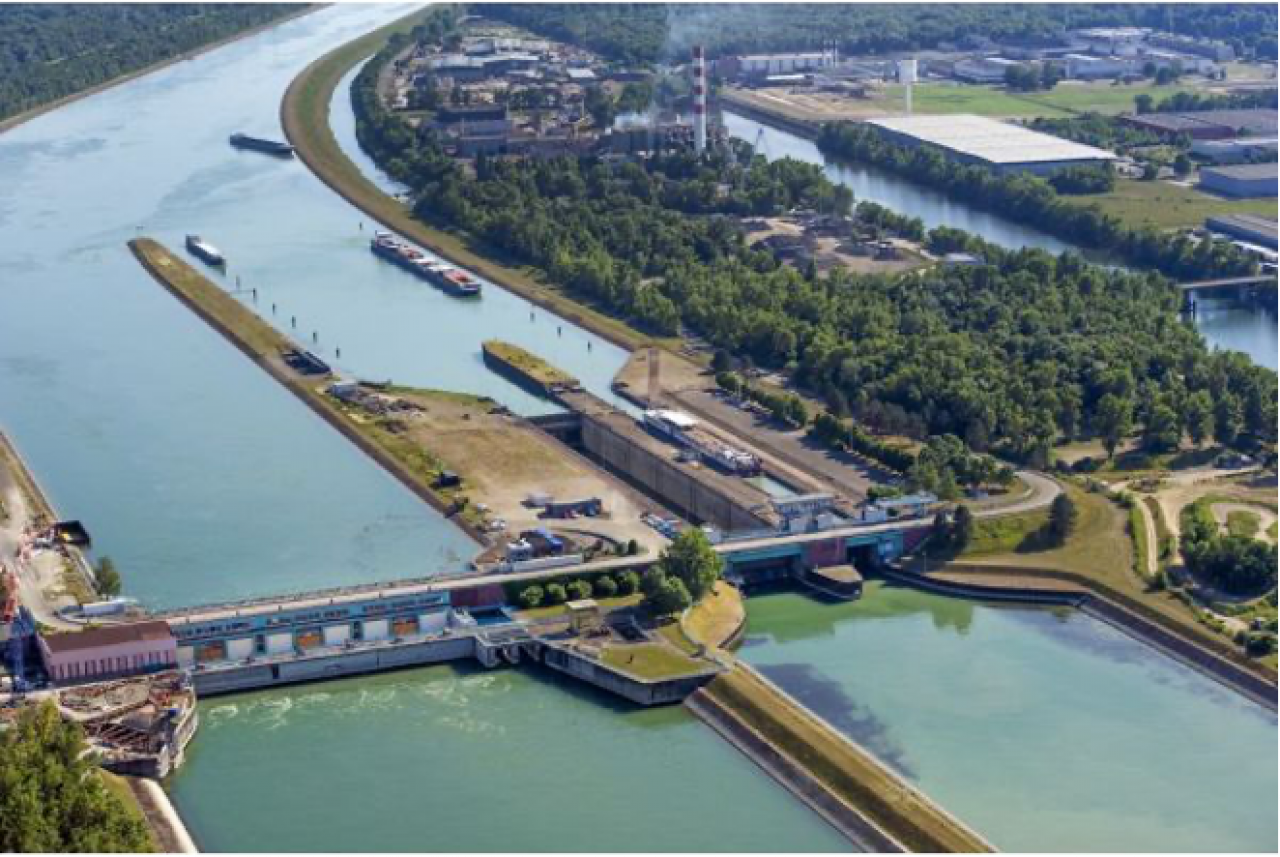
The AMUP laboratory mission was to make this information accessible for all. The objective is to explore the possibility of mapping the territory of the Eurometropolis using the indicators provided above through the combination of several data or several means of graphic representation (3D, 2D). The links between the different scales were established from work carried out on real operations located within this field study. This very concrete approach made it possible to verify the feasibility of creating the tool, but also to ensure that it meets the needs of the actors on the ground. The challenge is to ensure the homogeneity of data used at the local (NEST) and territorial (NEST-TERR) level. If the model obtained at the end of the work is adapted to the context of Strasbourg, it could be transposed and used in other French and European metropolises which will be helped in the definition of their development strategy
MODEVAL-URBA
Modélisation et évaluation au service des acteurs des territoires et des villes de demain
ADEME
Agence de l'Environnement et de la Maîtrise de l'Énergie